
How the Komodo Islands Formed: Geology Behind the Landscape
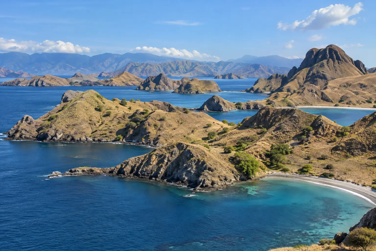
The dramatic slopes and bays of the Komodo islands have a geological history longer than any tourist itinerary. UNESCO describes the national park’s main islands as volcanic in origin, part of a complex tectonic setting between the Sunda and Australian systems. That does not mean the viewpoint above Padar is a currently erupting volcano, or that every differently colored beach has one simple volcanic explanation. The landscape is a combination of its original rocks, uplift, erosion, coastline and the dry-season vegetation covering them.
Sources checked 23 September 2026. This is an interpretation of published regional geology, not a site-by-site rock survey.
What the strongest sources actually establish
| Source | What it supports | What it does not prove |
|---|---|---|
| UNESCO World Heritage description | The main park islands are volcanic in origin and occupy a rugged tectonic setting. | The exact rock age or volcanic vent beneath a particular tourist viewpoint. |
| 2025 geological note on the Labuan Bajo area | Nearby mainland exposures include volcanic rocks and carbonate sediments of differing ages. | That every Komodo or Padar outcrop is the same formation as the studied mainland site. |
| A photograph of a bay | The present visible shape and vegetation at the moment of capture. | A rock’s chemistry, age or a complete history of sea-level change. |
The 2025 study describes early Miocene volcanic material, younger volcanic units and carbonate rocks in the Labuan Bajo area. It is helpful regional context; applying its formation names to a specific island requires a geological map or sample from that island. This distinction is where many travel summaries overstate the evidence.
Why the islands have steep hills and indented coasts
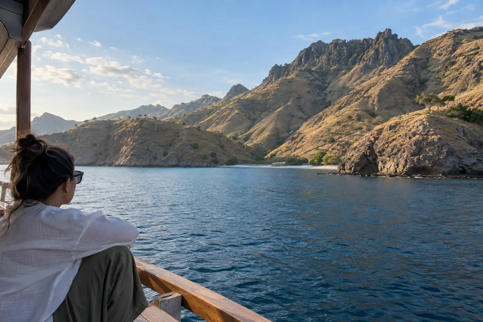
Volcanic construction created much of the original material in this part of the archipelago. Tectonic deformation and subsequent weathering, erosion and coastal processes altered it over a long period. Water enters weaker zones, cliffs retreat and bays develop; resistant ridges remain visible. That is a useful general model for the rugged topography UNESCO describes, but it should not be presented as the proven sequence for every named bay without field mapping.
Today, boat routes reveal a succession of headlands, coves and shallow coastal areas. The appearance changes with angle, tide and seasonal vegetation. A dry brown hillside in one photograph and a greener one in another do not represent different rock types by themselves. The Komodo National Park destination page covers where these landscapes sit within the broader park.
Sand, reefs and the visible color contrast
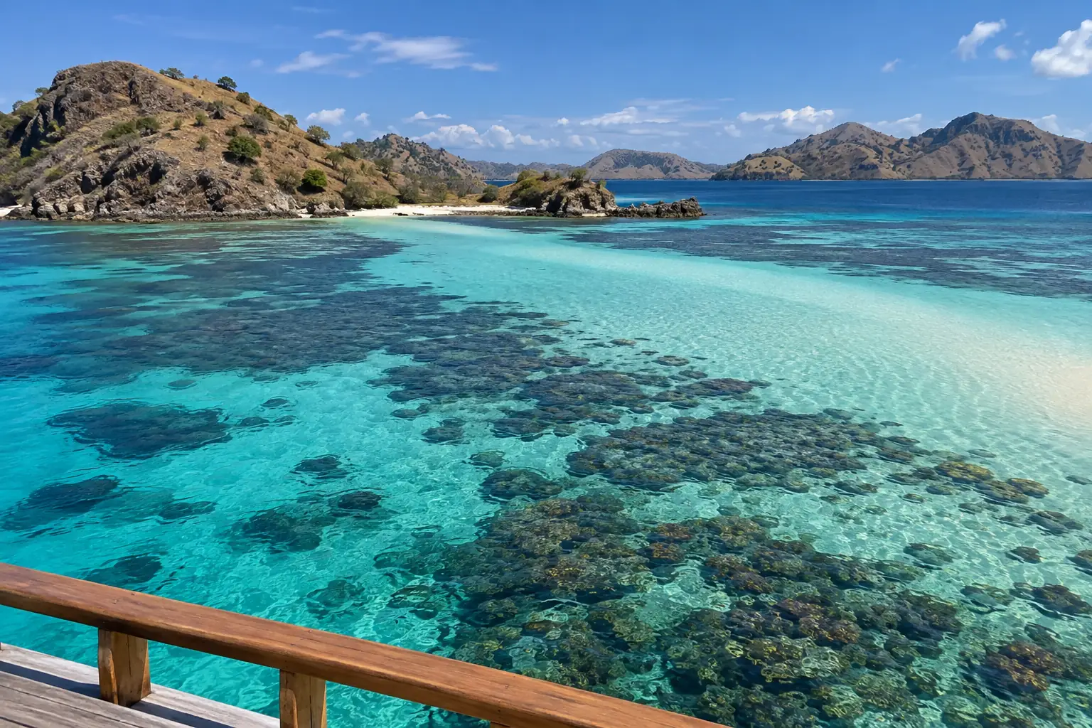
Coastal sand can contain a mix of weathered rock, shells and other biological fragments. Coral reefs and shallow water change how a bay looks from a boat; depth, suspended particles, the seabed and the sun’s angle can all change the apparent color. Do not diagnose a beach’s exact mineral composition from a drone shot. For Pink Beach specifically, follow the Pink Beach destination information for the place, and avoid treating every pale or pink patch as the same deposit.
Geology is not the same as dragon distribution
UNESCO notes that the park includes volcanic islands and important terrestrial and marine habitats. The present habitat also depends on climate, vegetation, prey and long ecological history. A simple claim that “volcanic soil created the dragons” skips those distinct processes. Dragon ecology belongs in the wildlife articles; here the useful insight is how rugged land and sea create a patchwork of environments.
How to read the landscape from a boat without inventing a map
- Mark the island and viewpoint on a reliable current map before interpreting a photograph.
- Separate observed features—ridge, cliff, bay, sandbank—from inferred causes.
- Use published local geology for rock type or age, not the color of an aerial image.
- Ask the guide if a specific outcrop has an official geological explanation, and record the source if they provide one.
- Keep off closed slopes and protected habitats; a rock-collecting or off-trail trip requires its own permission.
For seeing several coastlines on one sailing, browse the Komodo tour packages hub, then confirm the exact route. Boat access does not make an island a walkable geological field site. A future field-guide version would need mapped outcrops, dated photographs and a geologist’s review before assigning formations to named stops.
Label the evidence behind a landscape explanation
A photograph of a steep hill establishes its shape, not the age or origin of its rock. A geological explanation needs a mapped unit, locality and relevant research. Keep regional tectonic context separate from a claim about the exact cliff visible from your boat.
For sand colour, distinguish loose beach material, living reef organisms and the bedrock beneath the island. Those materials need not share one origin. If the guide offers a local explanation, attribute it as an explanation rather than presenting a photographed landform as a tested geological sample.
Can I identify a rock formation’s age from a holiday photograph?
Not reliably. Use an appropriate geological source tied to the locality; visual resemblance alone is insufficient.
The protected-area context and map resources are available from UNESCO’s Komodo National Park record; this is not a current permit or trail-access document.
For the sea segment, compare komodo tour 3 days 2 nights and confirm the named operator’s route, services and booking terms.
